India's PM GatiShakti includes 1900 GIS data layers for infra mapping

Over 250 infrastructure projects have been examined in the last 12 months by using that master plan. These include connectivity linkages of rail, port, road and last mile infrastructure projects for sectors like agriculture, food, steel and coal.
The minister called for more training and building capacity to further boost the utilisation of the initiative by various ministries, departments and states, an official release said.
He also asked ministries to bridge on priority critical infrastructure gaps and focus on development of regions of strategic importance, especially industrial clusters that can act as drivers of economic growth.
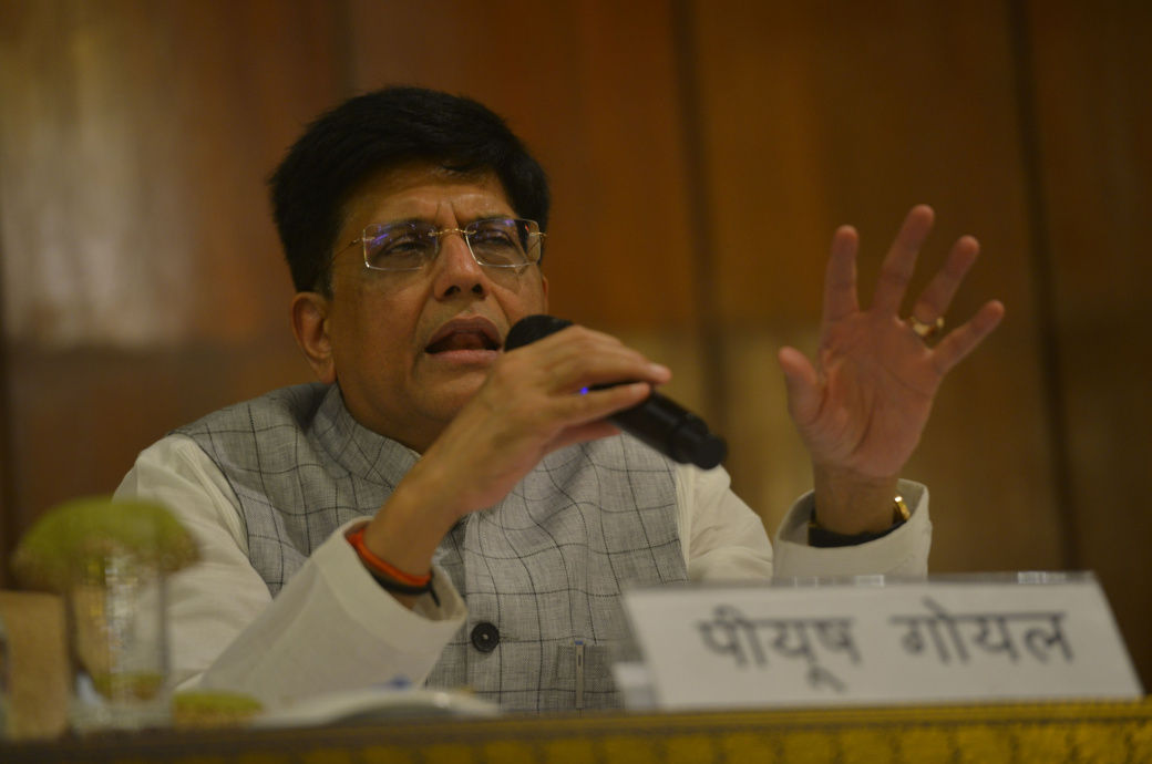
Goyal also holds the portfolios of consumer affairs, food and public distribution and textiles.
Fibre2Fashion News Desk (DS)


-Ltd..jpg?tr=w-120,h-60,c-at_max,cm-pad_resize,bg-ffffff)


.jpg?tr=w-120,h-60,c-at_max,cm-pad_resize,bg-ffffff)
.jpg?tr=w-120,h-60,c-at_max,cm-pad_resize,bg-ffffff)


